
Breathtaking views of the surrounding mountains in the San Luis Valley, near Moffat Colorado.

Emphasis on Infrastructure upgrades along the Sand Creek Regional Trail demonstrate how civil engineering, stormwater management, and environmental protection intersect across northeast Denver.

A brand-new Whole Foods Market is coming to Denver's Central Park neighborhood—and the first design concepts have been released!

Get a birds-eye view of the new Mountain Prairie Subdivision - Red Barn Meadows in Mead, Colorado.

Learn more about how drone mapping and aerial data can support your environmental projects.

Get the exact evidence the BLM and USFS need to evaluate land health under the new standards. When you're responsible for the public lands your cattle graze, reliable aerial documentation can make all the difference. Learn how to navigate today's grazing challenges with Arrowwood Aviation.

Take a peaceful flight over this rustic, old mountain cabin tucked away in the beautiful forests of Florissant, Colorado.
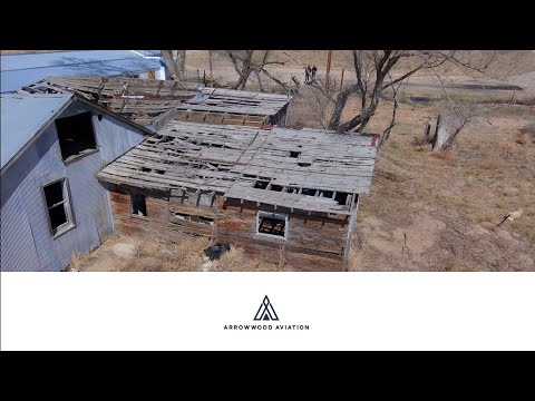
Historic Dearfield, Colorado is a ghost town founded in 1910. It created a place of opportunity, self-sufficiency, and resilience on the eastern plains.

A clean, structured look at early‑stage development at Dawson Trails in Castle Rock, Colorado.

Aerial progress update from the Looking Glass subdivision in Parker, Colorado, showcasing active residential construction along Solaris Street.

Experience a full aerial look at a custom cabin build in Cripple Creek, Colorado — captured with precision by Arrowwood Aviation.

Arrowwood Aviation provides high‑accuracy aerial data for projects across Denver, Colorado. We support every phase of construction: pre‑construction planning, active construction monitoring, and finished‑site documentation. Our flights deliver orthomosaics, elevation models, and verified records that keep teams informed and projects moving. A special thanks to Bassett and Associates for their continued trust and partnership.

Arrowwood Aviation provides an aerial progress update and 3D geospatial overview of the ongoing construction at the Beach Club Community Center in Aurora, Colorado.