Aerial Data for Conservation, Restoration, and Environmental Stewardship
Healthy landscapes tell a story—but many of the most important changes happen gradually and often go unnoticed from the ground.
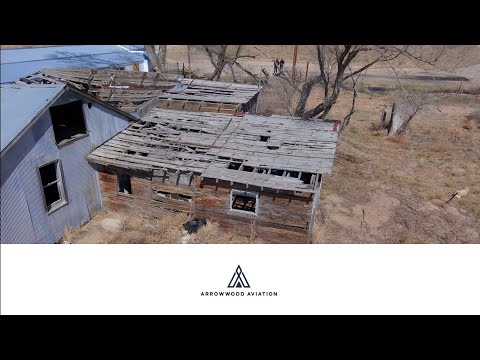
In this video, Arrowwood Aviation shares how aerial imagery, drone mapping, and environmental monitoring can help conservation organizations, land managers, restoration professionals, and environmental consultants better understand the landscapes they protect.
Using NDAA-compliant, American-built aircraft, we provide aerial data that supports pollinator habitat monitoring, ecological restoration, land reclamation, conservation easements, environmental stewardship, and long-term landscape management.
Every flight creates a record. Every map reveals patterns. Every comparison helps turn observations into informed decisions. Arrowwood Aviation Aerial Data for Conservation, Restoration, and Environmental Stewardship
Learn more about how drone mapping and aerial data can support your environmental projects.
Contact us today: contact@ArrowwoodAviation.com