Who we are & What we do
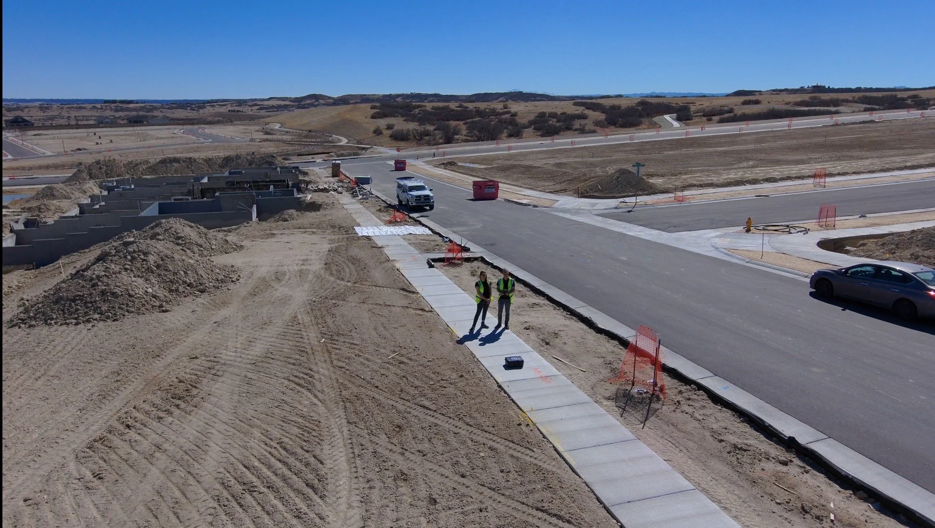
We are Marcia Hayes & Travis McCartney, owners of Arrowwood Aviation. Together we bring more than 20 years of experience in the construction industry and in business operations.
Arrowwood Aviation provides commercial aerial data and documentation for construction, AEC, infrastructure, environmental, and public-sector projects. Our services include high-resolution photography and video, orthomosaics, elevation models, 3D models, and time-stamped progress documentation. These deliverables support construction progress monitoring, site documentation, earthwork, as-built records, BIM/AEC workflows, environmental monitoring, mapping, and long-term project records.
Rather than simply delivering drone footage, Arrowwood Aviation focuses on collecting and organizing aerial information around the customer's specific project needs—helping teams better document conditions, communicate progress, and make informed project decisions.
The drone is the collection tool. The deliverable is the product. The information is the value.
Contact us
Interested in working together? Fill out some info and we will be in touch shortly. We can’t wait to hear from you!